Nikola Milojevic-Dupont and I have compiled every building data we could find in Europe in one open database, called EUBUCCO. You can explore and download the v0.1 dataset on eubucco.com. The related paper just got published in Nature Scientific Data.
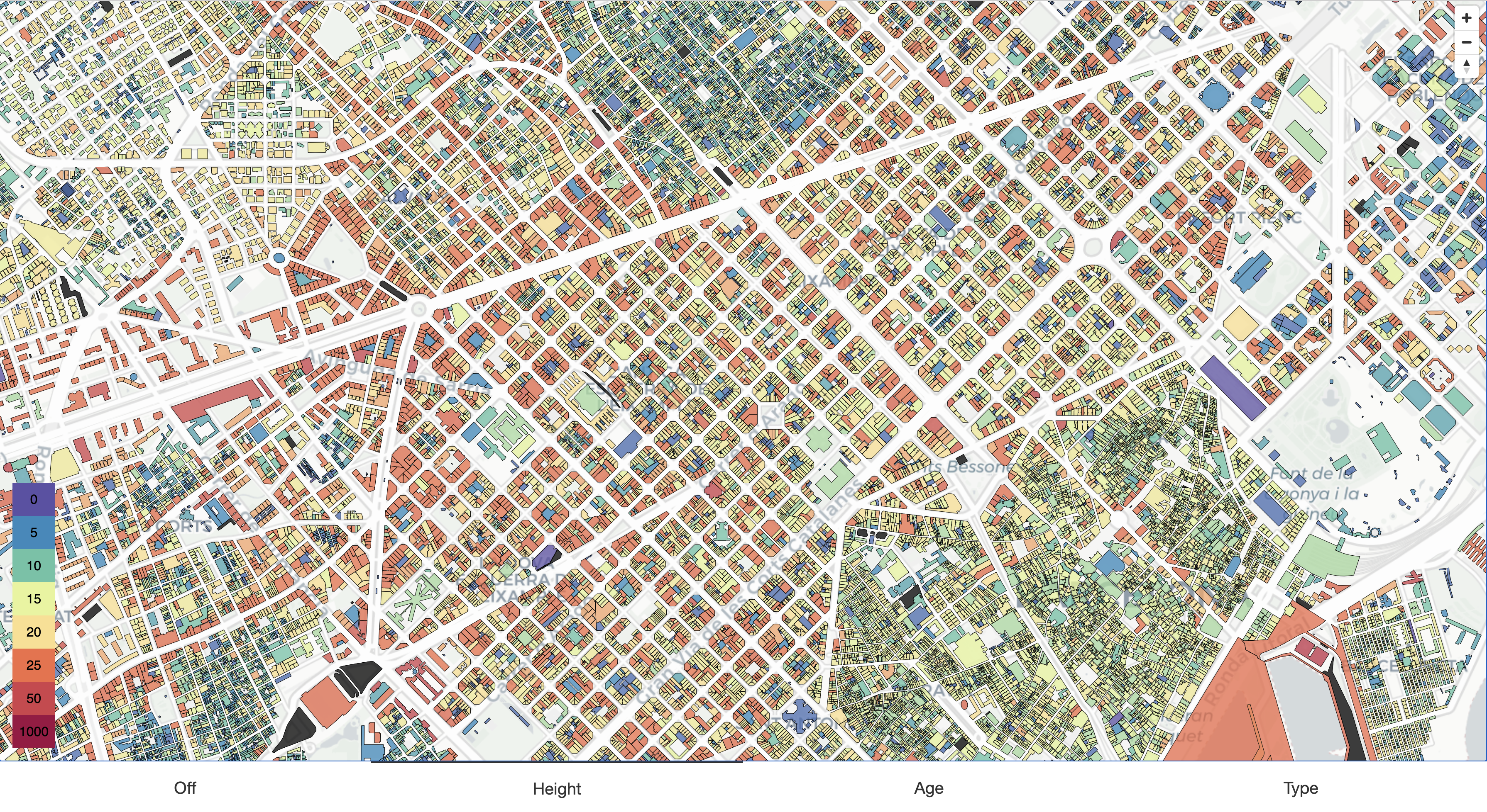
 Next to downloading data, EUBUCCO allows to explore building heights, f.e. in Bareclona, with an interactive Map.
What is it? 🏘
For more than 90% of all buildings in the European Union, the footprint can be geolocalized within a city, region and country. It includes important characteristics such as the use type, construction year and height. All data is harmonized and released in a single format and under one license.
What can you do with it? 📝
It enables you to run local, comparative and aggregated analyses such as comparing the 3D morphology of Paris, Berlin and Helsinki, assessing the exposure to flooding in Italy or modelling regional building energy demand of all Northern countries in the EU.
What makes it different? 💥
EUBUCCO v0.1 integrates 50 different datasets that provide the best available data in their regions. Thus, we can achieve a better coverage in terms of footprints and attributes compared to OpenStreetMap or Microsoft GlobalMLBuildingFootprints.
How to use it? 💻
If you want to get familiar with using EUBUCCO in practice:
- All code is open-source and on github!
- Check out our tutorials:
- Play Around with our interactive Map, which displays all buildings including their attributes as shown in the figure above!
What’s next? 💡
All the work that went into making this database will be amplified by each reuse, so please explore the data and start using it! If you want to chat about the data, future plans or collaborations, feel free to reach out!
